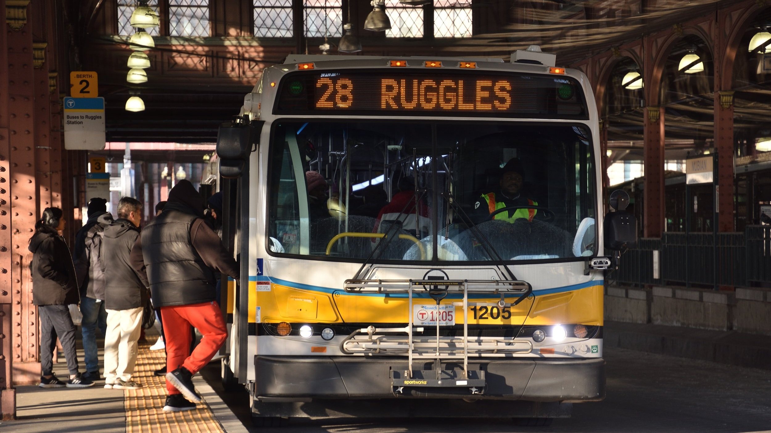
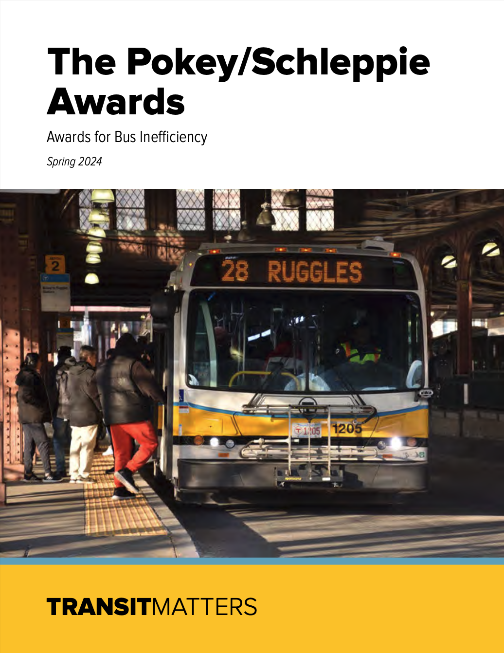
[The Pokey/Schleppie Awards] identifies the most unreliable routes and suggests bus priority infrastructure implementations, operations modernization, and policy and planning changes to create a better bus network for riders.
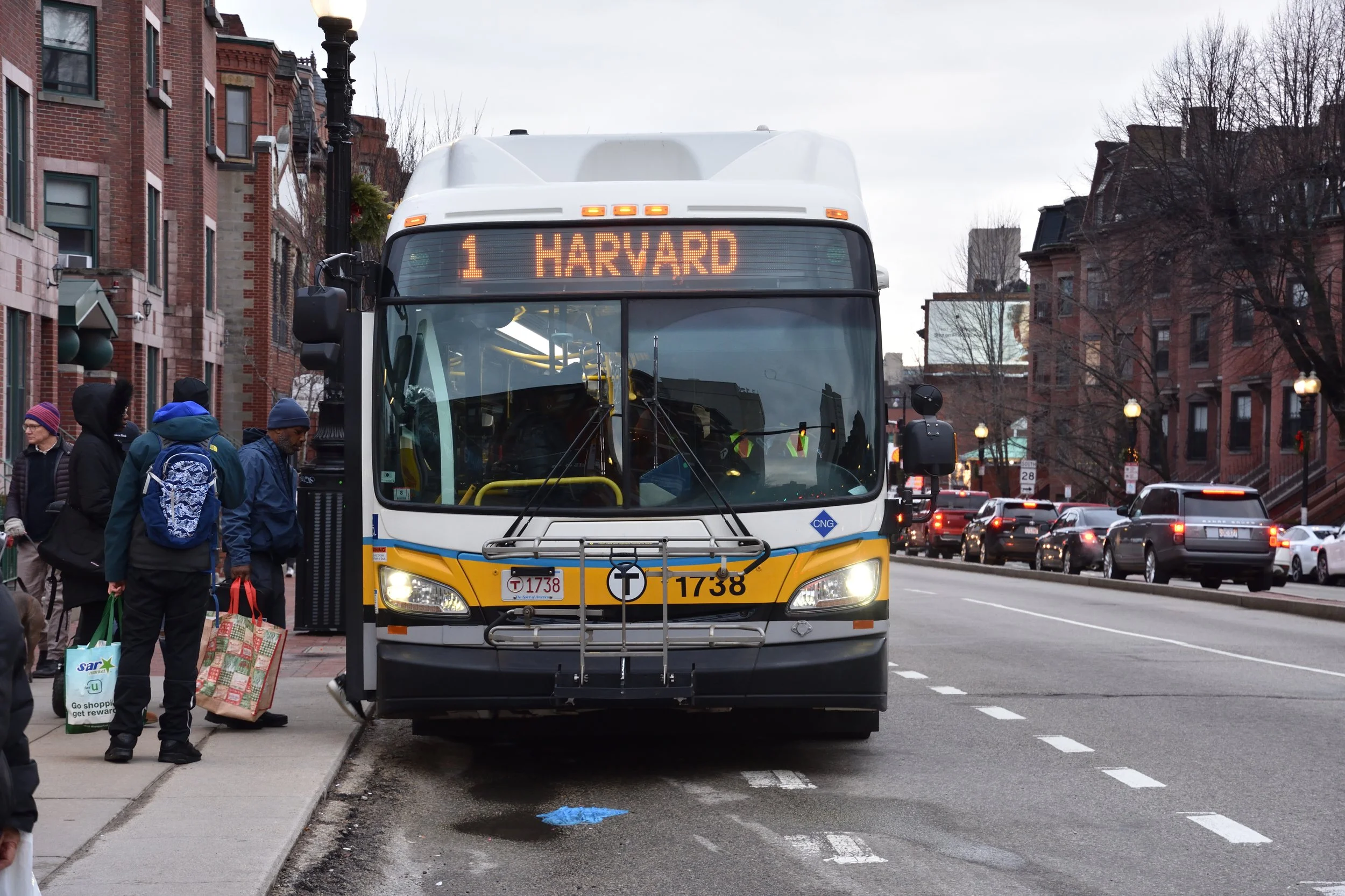
The Blue Hill Ave dedicated bus lane, along with the project’s other mobility upgrades, is a major advancement essential to supporting historically disinvested communities.